Storm Chasing 2009 Highlights

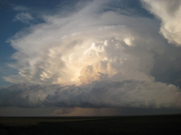
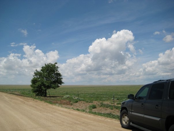
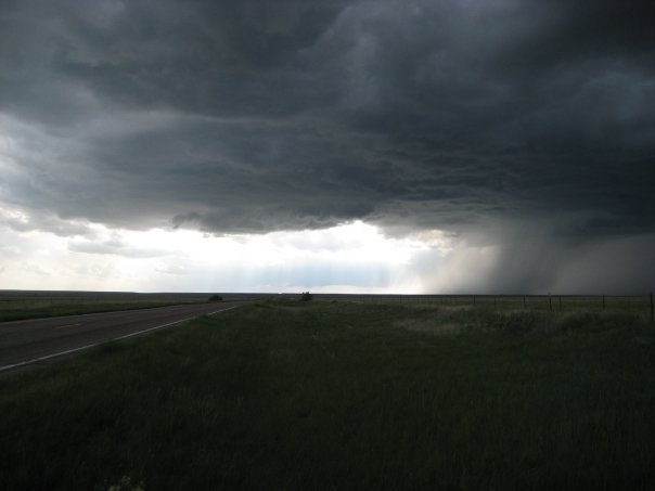
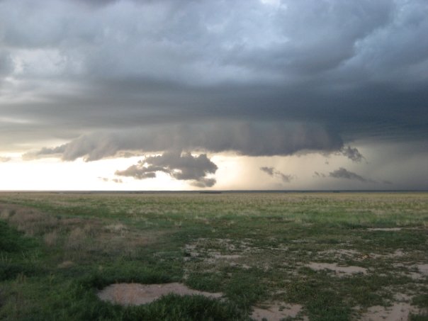
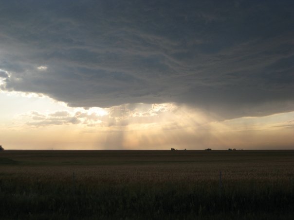
From June 6th-19th, 2009, Ryan went on his yearly storm chasing trip in the Plains states as a tour guide with Storm Chasing Adventure Tours (http://stormchasing.com). His group saw many supercell thunderstorms and even four tornadoes during the second week. Videos and pictures from the two-week trip are below.

Videos

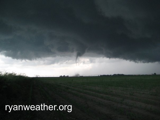
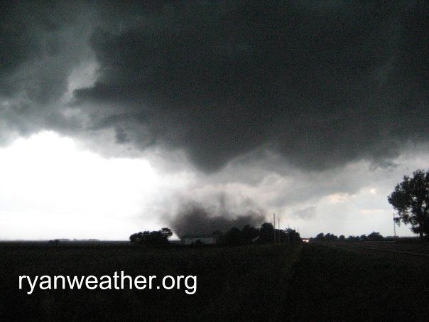
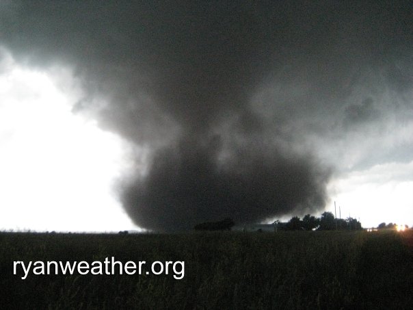
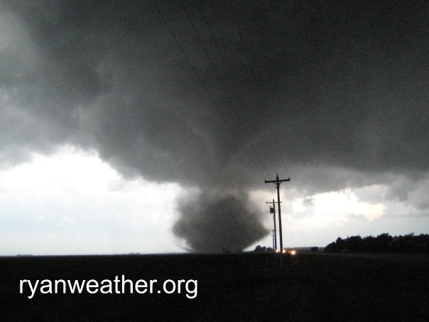
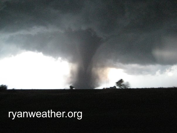
On June 17th, a supercell west of Aurora, Nebraksa produced a series of four tornadoes, including a large EF2 wedge tornado. A house was heavily damaged, train cars were derailed, and trees were stripped in the path of the wedge tornado just outside Aurora.

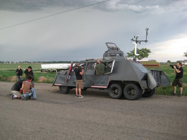
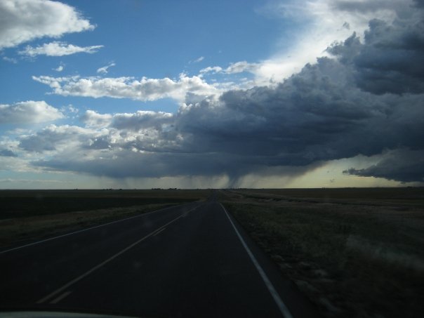
Two supercells strengthened and joined to form a monster storm that developed a rope funnel near La Junta, CO in Bent County on June 11th. VORTEX2, Sean Casey's TIV, and The Weather Channel were present along with dozens of other chasers.

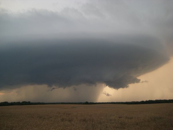
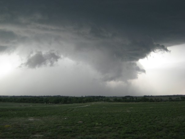
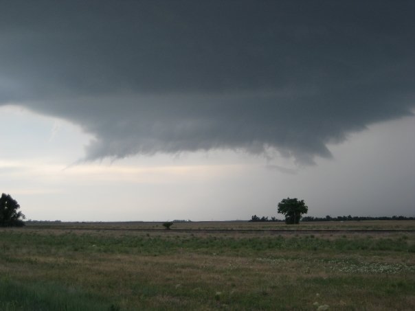
An impressive supercell thunderstorm in Kiowa County, KS near Greensburg on June 9th showed impressive rotation and structure, but did not drop a tornado. A wall cloud and rotating updraft base can be seen clearly. VORTEX2 and The Weather Channel were present during this storm.

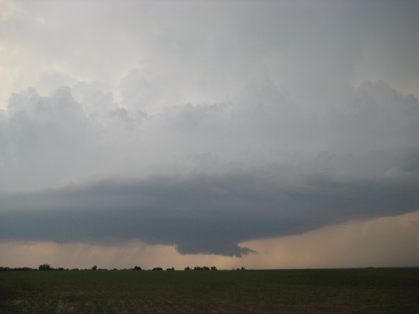
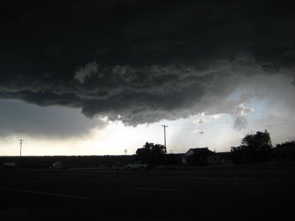
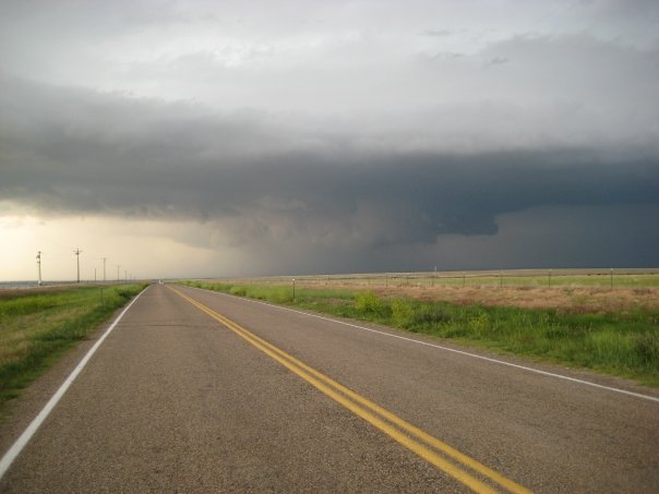
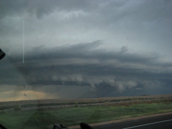
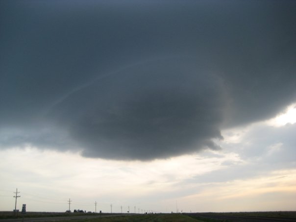
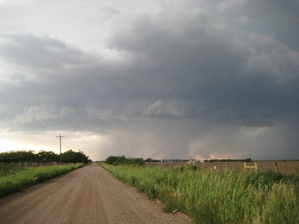
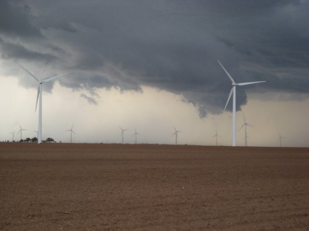
A large rotating supercell thunderstorm formed near Aspermont, Texas on June 8th. The storm had enough rotation on radar to produce a funnel, but none came to fruition.

Pictures

6/19 - Aurora, Nebraska tornado aftermath and tour 7 group picture
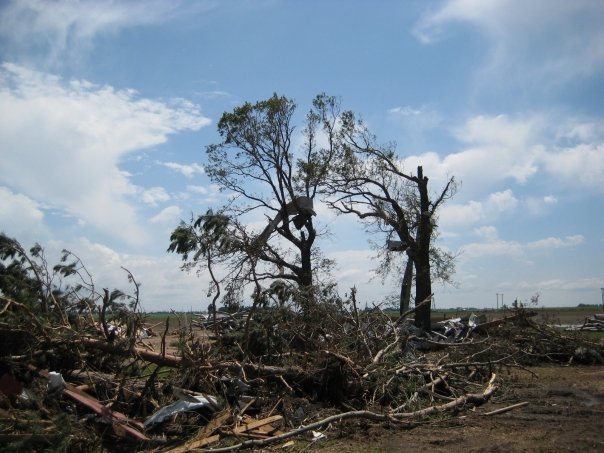
West of Aurora, NE West of Aurora, NE Storm Chasing Adventure Tours Tour #7


6/17 - Four tornadoes west of Aurora, Nebraska

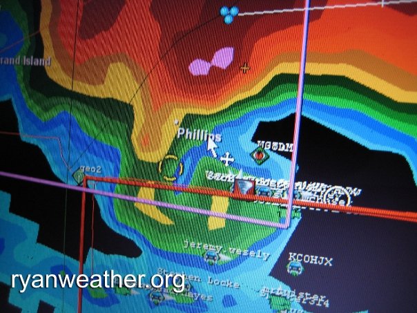
West of Aurora, NE Ryan Hoke with funnel west of Aurora, NE West of Aurora, NE Hook echo of Aurora, NE tornado
Wedge tornado west of Aurora, NE Wedge tornado west of Aurora, NE Wedge tornado west of Aurora, NE Wedge tornado west of Aurora, NE


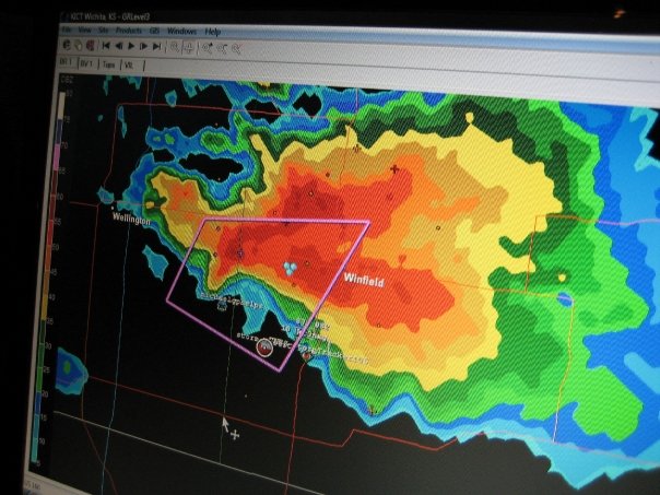
6/16 - Supercell near Winfield, Kansas
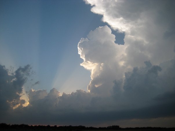
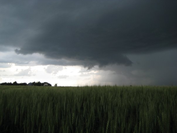
Supercell near Winfield, KS Supercell near Winfield, KS Supercell near Winfield, KS Comma-shaped supercell near Winfield, KS
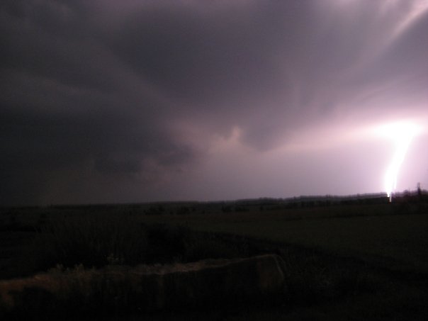
Lightning near Winfield, KS


6/15 - Supercells near Colby, KS
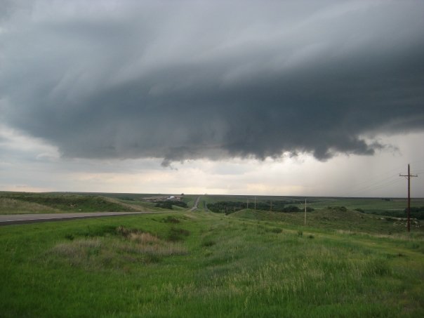
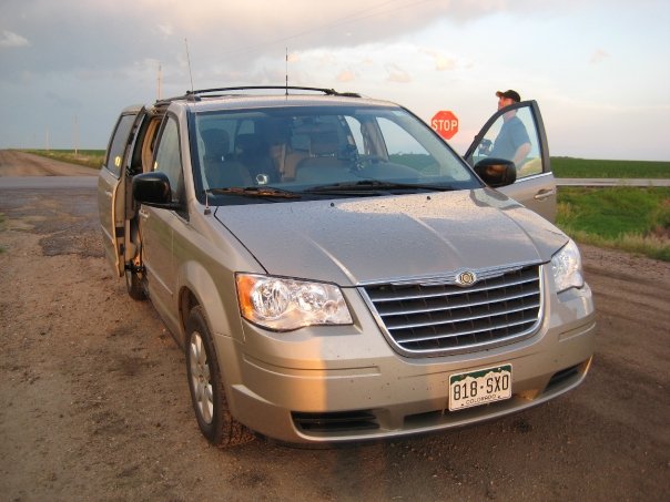
Supercell near Colby, KS Supercell near Colby, KS Our new chasing vehicle, a Chrysler Town & Country Picturesque evening supercell near Colby, KS


6/14 - Deer strike east of Wray, CO in Nebraska
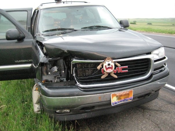
We struck a deer near Wray, CO after a train scared it into the road


6/12 - Southeast Colorado supercell
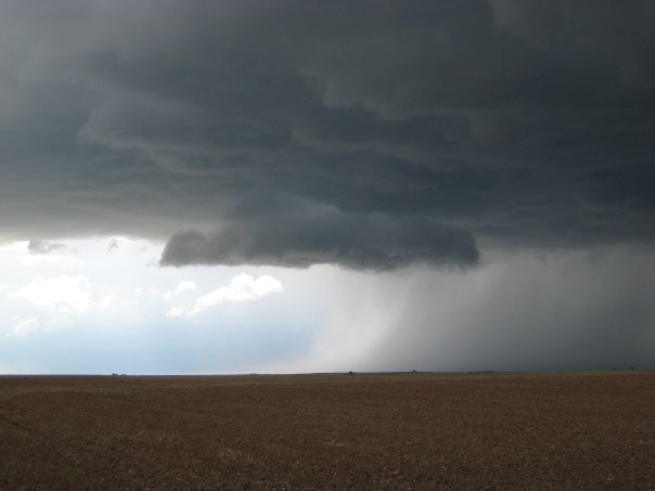
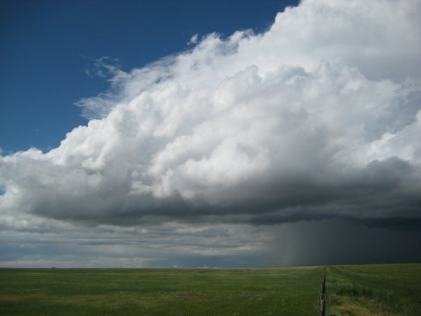
Cloud towers going up in Southeast Colorado Supercell developing in Southeast Colorado Supercell in Southeast Colorado Supercell in Southeast Colorado
Supercell in Southeast Colorado


6/11 - Supercells east of Denver and in Bent County, CO
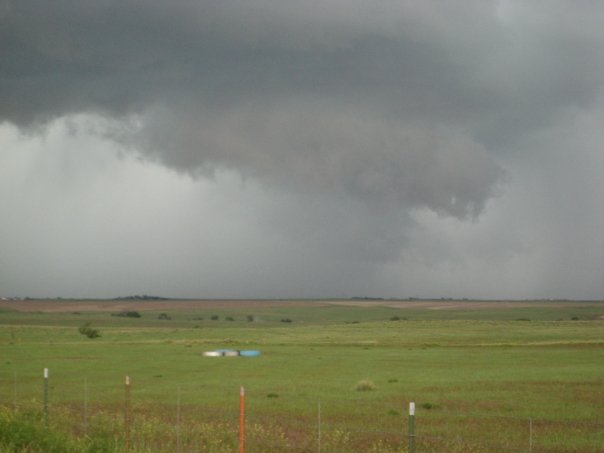
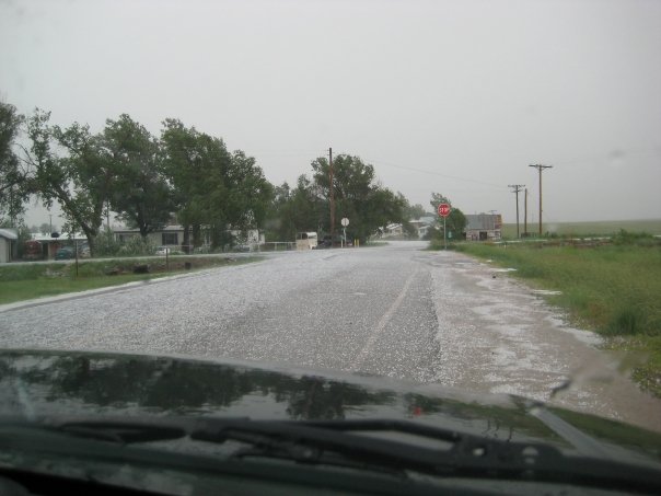
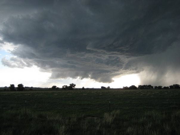
Supercell east of Denver Hail on road after line of storms east of Denver Supercell forming near Bent County, CO Supercell in Bent County, CO
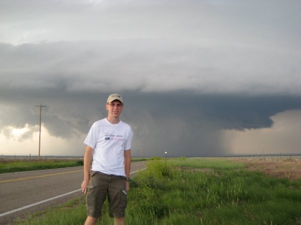
Sean Casey and Tornado Intercept Vehicle II (TIV II) in Bent County, CO Supercell in Bent County, CO Supercell in Bent County, CO Ryan Hoke with supercell in Bent County, CO
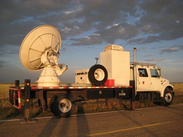
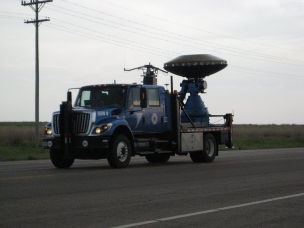
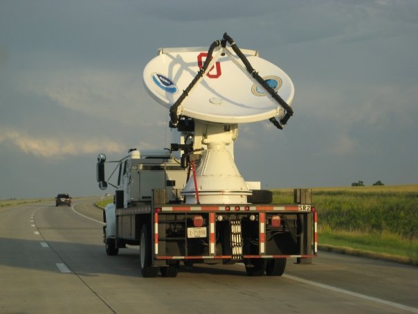
Supercell in Bent County, CO Doppler on Wheels (DOW) from VORTEX2


6/10 - Storms in Northern Oklahoma and Southwest Kansas
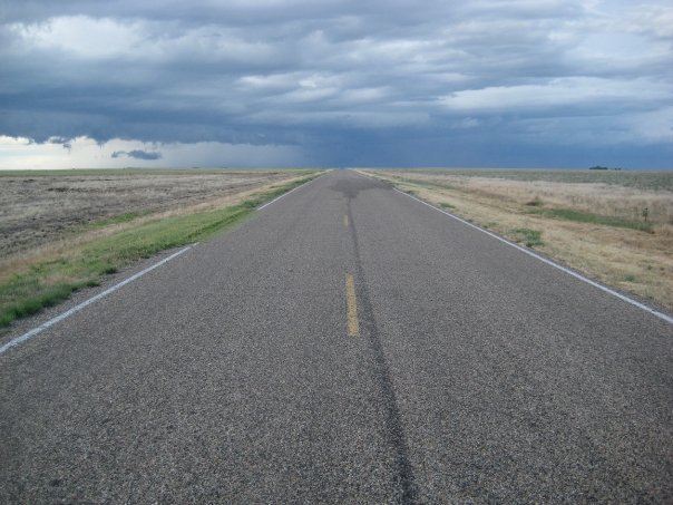
Northern Oklahoma Northern Oklahoma Line of storms near Meade, KS


6/9 - Impressive supercell in Kiowa County near Greensburg, Kansas
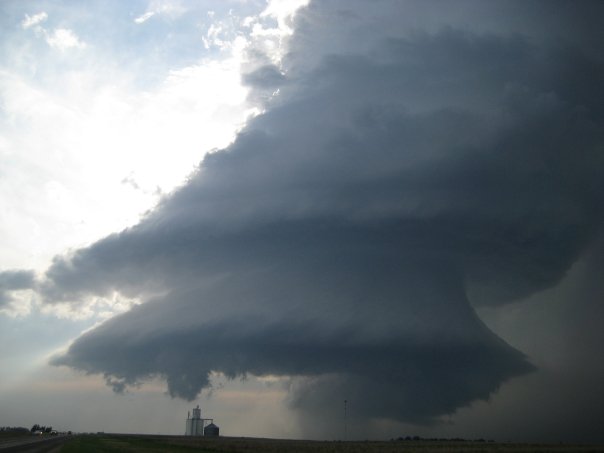
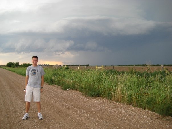
Supercell near Greensburg, KS in Kiowa County Ryan Hoke with supercell near Greensburg, KS Supercell in Kiowa County near Greensburg, KS Wall cloud near Greensburg, KS in Kiowa County
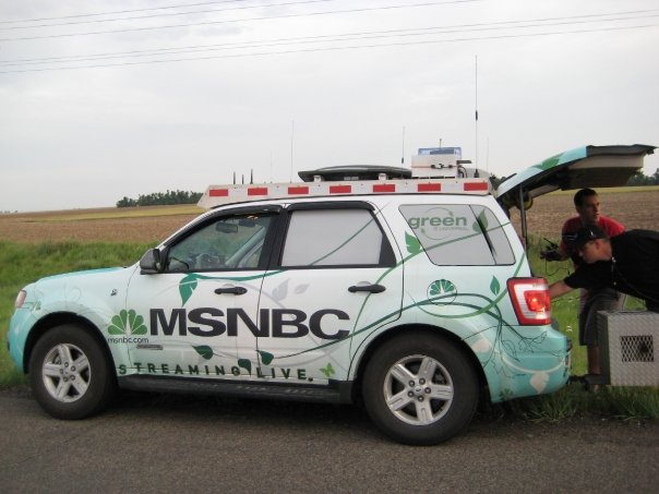
Doppler on Wheels (DOW) from VORTEX2 MSNBC SUV with crew from The Weather Channel and NBC


6/8 - Supercell and line of thunderstorms between Aspermont and Abilene, Texas
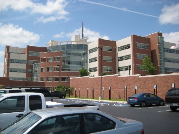
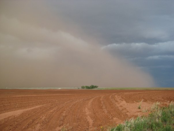
The National Weather Center in Norman, Oklahoma Ryan Hoke with supercell near Aspermont, TX Supercell near Aspermont, TX Dust storm near Aspermont, TX
Linear supercell near Aspermont, TX


6/7 - Storms in Northeast Kansas

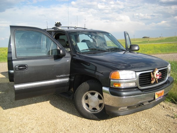
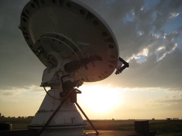
Our chase vehicle Rainbow in Northeast Kansas Storm in Northeast Kansas near sunset Doppler on Wheels (DOW) from the University of Oklahoma, part of VORTEX2
Doppler on Wheels (DOW)


6/6 - Storm Chasing Adventure Tours tour 6 group picture
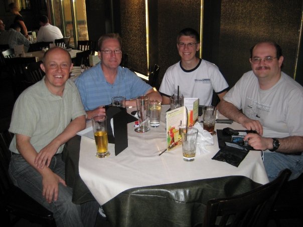
Storm Chasing Adventure Tours tour 6

Connect with Ryan Hoke

Email Facebook Twitter LinkedIn